
Nearbound
ARTICLES
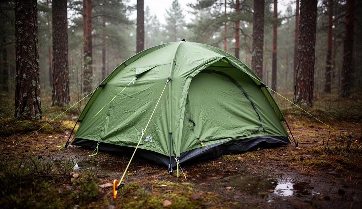
How to Select a 3-Season Tent Under 2 Kilograms
Field Gear & Outfitting8 min read

How to Select a 3-Season Tent Under 2 Kilograms

Learn how fabric denier, pole geometry, and vestibule volume dictate shelter durability. Cut pack weight without compromising stability during heavy regional rainstorms.

Select CategoryField Gear & OutfittingRoute Planning & NavigationCampcraft & Field SkillsWeekend Micro-Adventures

Latest Field Dispatches

All articles
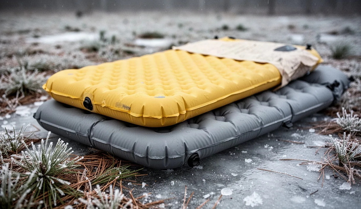
Cold Weather Sleeping Pad R-Values Explained
Field Gear & Outfitting9 min read

Cold Weather Sleeping Pad R-Values Explained

Understand ASTM standard R-value ratings and their direct impact on conductive body heat loss. Stack foam and inflatable pads to stay warm on sub-zero ground surfaces.

Bushcraft Fire Starting in Wet Coniferous Forests
Campcraft & Field Skills8 min read

Bushcraft Fire Starting in Wet Coniferous Forests

Locate dry resinous fatwood and harvest dead standing timber during extended downpours. Build a reliable heat base using proven split-wood fire building geometry.

How to Catch Morning Regional Trains with Touring Gear
Route Planning & Navigation9 min read

How to Catch Morning Regional Trains with Touring Gear

Streamline boarding procedures with bulky backpacks and fully loaded gravel bikes on early trains. Avoid transit bottlenecks and conductor disputes with simple staging tactics.

Start here

Editors' picks

How we write

Editorial policy
1

Field Verified Routes

Writers hike the exact trails before detailing water points and switchbacks.

2

Zero Brand Placements

We accept no sponsor money from gear makers or regional tourism boards.

3

Topographic Accuracy

Maps reflect actual elevation gain, seasonal crossings, and trail closures.

4

Practical Packing Notes

Recommendations specify precise fabric weights, pack volumes, and tool selections.

Browse by topic

More on Campcraft & Field Skills

Primitive shelters, low-impact fire management, weatherproofing, and backcountry water filtration.

All field reports on this topic

Long reads

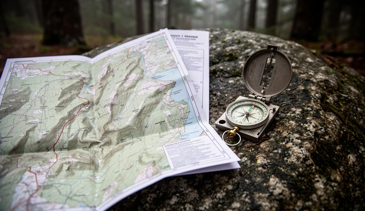
Topographic Map Reading Basics for Forest Trails
Route Planning & Navigation9 min read

Topographic Map Reading Basics for Forest Trails

Master contour lines, index intervals, and magnetic declination adjustments for deep forest navigation. Stay oriented when dense tree canopies block satellite navigation signals.

Practical Outfitting for Regional Travel

Active regional trail scouts and bushcraft practitioners write every guide here. We build field resources for independent explorers operating within local rail corridors and public lands. Every track file, shelter recommendation, and packing list undergoes direct physical testing before publication.

About us

Who writes here

Our team hikes every segment with GPS trackers and physical compasses to verify waypoints before a single word goes live.
Marcus Vance Marcus VanceHead of Field Verification and Cartography

Submit Route Data

Report blocked trail sections, altered water sources, or equipment failures. We verify incoming field reports weekly.

Working hours

Mon-Fri 08:00-17:30, Sat 09:30-15:30

Expected response time

Direct response within one business day

Send us a message